CWF Scientists Follow At-Risk Migratory Shorebirds to Tierra del Fuego
by Stephanie Feigin, Wildlife Ecologist
Over the past two years, our team, with the help of funding from the Neotropical Migratory Bird Conservation Act, has worked to create critical habitat maps and detailed threat maps for at-risk shorebird species in Northern Brazil and in Tierra Del Fuego, Chile. These projects have established the foundation for conservation planning in these important wintering areas for migratory shorebirds like red knots.
Brazil:
Two years ago, our team began working in Northern, Brazil covering the Atlantic coastline of both Pará and Maranhão state between Belém and São Luís. Our team conducted two successful excursions to Brazil taking point count surveys of wading shorebirds collecting approximately 44,700 individual bird sightings to add to the database our team created for the critical habitat maps (Figures 1 & 2).

 Figure 1. Results from the 2016 point count survey

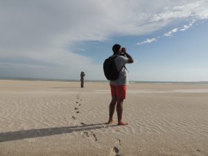
We conducted surveys using point count methods using fixed radius plots positioned along transects, with all wading birds counted within the 250m radius. Transects were conducted by either walking or while in a boat across various tidal stages and a variety of habitat types including mangrove creeks, sand flats, mudflats and beaches.

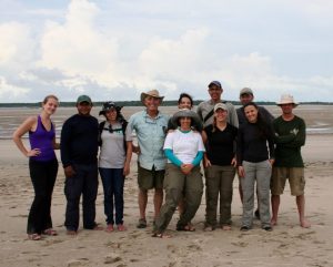
Paulo Siqueira, Ana Paula Sousa, Larry Niles, Juliana Almeida, Carmem Fedrizzi Joe Smith, Stephanie Feigin, Yann Rochepault, Laura Reis and Christophe Buiden (photo by Juliana Almeida)
Our team then created threat maps of the region from coastal development, mining operations, offshore drilling, and shrimp farming to help inform future conservation planning and mitigate impacts of these activities to the critical shorebird habitat in the region.
Chile:
This year, with a second round of funding, our team conducted work in Tierra Del Fuego, Chile to create critical habitat and detailed threat maps for Bahia Lomas in Chile. Bahia Lomas is both a globally significant RAMSAR wetlands site and a Western Hemisphere shorebird site of hemispheric importance.

Historically, Bahía Lomas and nearby Rio Grande supported wintering populations of 67,000 red knots – the largest wintering area for knots in the Western Hemisphere. In the last 30 years, however, the population has declined to less than 15,000 knots in Bahía Lomas and the population in Rio Grande is functionally extinct (Morrison et al 1989).

This January our team conducted surveys along the coast of Bahia Lomas to understand distribution of shorebird species within the region, using the same sampling methods, study key roosting and feeding habitats, and delineate critical habitat and threats to the region to inform future conservation and minimize impacts to shorebird populations.

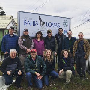
Over two weeks our team of New Jerseyans and Canadians conducted point-count sampling surveys throughout the bay with large assistance from our partners from Universidad Santo Tomás in Chile to determine key habitats. Additionally, our team conducted four aerial surveys to get species distribution counts on a large scale of the whole bay at various tide stages, as well as a helicopter survey to continue the population counts of the region done by Dr. Guy Morrison. Finally, our partners with the Universidad Santo Tomás conducted marine invertebrate sampling surveys. These data will be combined to aid in the creation of a GIS mapping system that can identify the most important shorebird habitats in the region.

In the next few months our team will use these data and overlay them with threat mapping to determine the critical habitats undergoing the greatest threats. This project is designed set the stage for proactive conservation planning that will mitigate future threats and will hopefully uncover the source of ongoing declines to the shorebirds in this region.


Citation:
Morrison R.I.G. & Ross R.K. (1989) Atlas of Nearctic shorebirds on the coast of South America. Canadian Wildlife Service Ottawa (Canada).
Discover more from Conserve Wildlife Foundation of NJ
Subscribe to get the latest posts sent to your email.