Updated Version of the Landscape Project (NJ’s Rare Wildlife Mapping Tool) Released
A CRITICAL CONSERVATION TOOL JUST GOT BETTER
By Michael Davenport, Marine Species & GIS Programs Manager
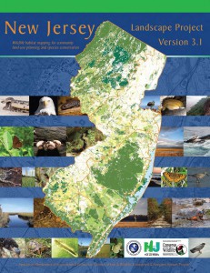
To coincide with the NJ Department of Environmental Protection’s (DEP’s) adoption this week of revised lists of endangered, threatened, and special concern species in the state, the DEP’s Endangered and Nongame Species Program released an updated version of the Landscape Project earlier this week.
The Landscape Project is a mapping tool, created using Geographic Information Systems (GIS), which displays wildlife habitat throughout the state ranked according to the rarity of the species which occur in specific patches of habitat. The highest rank (5) is used to indicate habitat for those species which are federally endangered or threatened. Rank 4 is used for state endangered species, rank 3 for state threatened species, rank 2 for species of special concern, and rank 1 is for suitable habitat patches for which no rare species documentation currently exists.

The updated version of the Landscape Project is known as Version 3.1 (V3.1) and it replaces both Version 3.0, which covered the Highlands region only, and Version 2.1, which was applied to the remainder of the state. Both previous versions were released in 2008.
Several changes have been in the methodology and source data used to create this latest version of the Landscape Project. First, V3.1 is based upon 2007 Landuse/Landcover data, as opposed to the 2002 data used in previous versions. Second, over 3,500 new rare species records were used in V3.1 and the newly adopted endangered, threatened, and special concern status changes are reflected. Also, species not included in previous versions, such as whales, sea turtles, and freshwater mussels, are included. More detailed information is also available in V3.1 such as the type of occurrence documented (nest, foraging habitat, etc.) and the last year that the occurrence was documented.
Since creation of the first version of the Landscape Project in the mid-1990’s, it has been a valuable tool for conservationists, land managers, state and local governments, as well as others. Municipalities often refer to it in creation of their Environmental Resource Inventories (ERIs) and land trusts often use it to target areas for open space acquisition.